Dr. Chris Lim: What's Brewing in Your Lab?
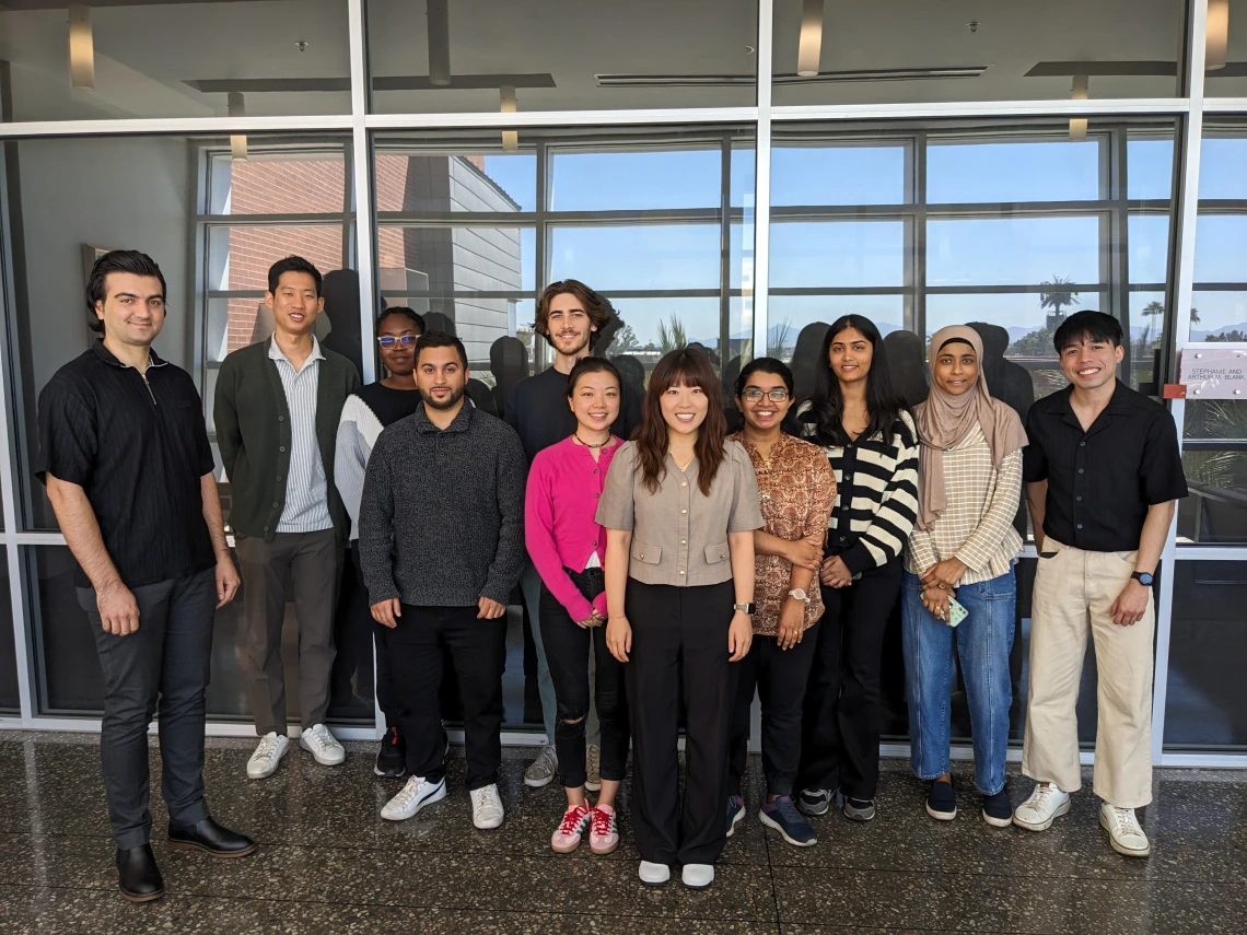
SWEHSC had the pleasure of hosting a “What’s Brewing in Your Lab” session featuring Dr. Chris Lim and his students from the Health & Urban Modeling (HUM) Lab, who shared their impactful environmental research. A total of 9 students presented on a diverse range of topics, including air pollution, U.S. infrastructure, healthcare accessibility, and playground shade structures. Much of the HUM Lab’s work is conducted in Mexico, making collaboration with academic professors and researchers there essential for sharing data and strengthening research outcomes. The lab finds importance in conducting fieldwork at research sites, allowing students to directly engage with communities, understand their challenges, and gather insights through firsthand conversations. The overall goal of these projects is to raise as much awareness and understanding as possible until we see change.
Grace Chao: Air Pollution Exposure and Socioeconomic Deprivation across Mexican Municipalities
Grace’s work aims to evaluate the disparity in air pollution exposure in Mexico, given its large population size and distinct socio-demographic patterns. This project extracted particulate matter data and generated population-weighted air pollution levels. These concentrations were then linked to socioeconomic data, then data visualization and correlation analysis was completed. Grace’s findings reveal that Mexico City and the surrounding states have highest particulate matter and nitrogen dioxide concentrations, as well as urban centers and industries. The analysis reveals that elevated air pollution disproportionately affects urbanized, economically developed municipalities and areas with higher concentration of Afro-Mexicans – who comprise less than 2% of Mexico’s total population.
Andrew Weesner: Historical Redlining and Inequity in Environmental Risk Exposures from Transportation Sectors
Redlining is a discriminatory practice in which lending institutions, such as banks or insurance companies, deny services or charge higher rates to residents in certain neighborhoods based on their race or ethnicity. In recent years, redlining has become a key focus in environmental justice, as studies have linked historically redlined areas to increased exposure to various environmental hazards. Andrew’s work aims to determine whether historically redlined areas are still exposed to higher levels of environmental burdens across different sectors, compared to areas that received more favorable ratings. To do so, Andrew gathered measurements of concentrations of nitric oxide, nitrogen dioxide, particulate matter, and noise pollution in these areas to determine if their environmental risks were more severe than areas with higher ratings. Of the four areas that Andrew examined, the lowest rated areas were exposed to the highest concentrations of nitrogen dioxide and noise pollution.
Riyanshi Bohra: Socioeconomic Analysis of Playground Shade Structures
Riyanshi’s research combines high‑resolution imagery with machine learning to measure how playground shade structures vary and how those differences relate to socioeconomic factors. To do this, she extracts:
Spectral indices for enhancing image detail
Structural metrics to estimate building heights
Thermal data to gauge land surface temperatures
Texture features to quantify shadows and surface variability
Riyanshi’s work is ongoing, as the ultimate aim is to map shade structures at every playground in Arizona and explore the link between socioeconomic factors and access to these structures. She hopes that this will help ensure that all children—regardless of their socioeconomic background—have access to shaded play areas.
Nasrin Fatima: Assessing Healthcare Accessibility in Low-Density Areas of Pima County
Census tracts are subdivisions of a county used by the U.S. Census Bureau to collect and analyze data. Nasrin is analyzing the data from different census tracts to examine demographic factors and explore how they are linked to access to resources. In Pima County, there are 241 total census tracts, ranging from a high-density population with over 2,000 people to a low-density population with less than 500 people. The average distance to the nearest hospital from high-density areas is 2.21 miles, while the distance from low-density areas is 10.82 miles, showing that residents of low-density areas have lower healthcare accessibility. Nasrin’s research is ongoing, and she hopes to expand this study to include hospital visits for specific services, such as primary care and pediatrics.
Mojisola Ajayi: Inequalities in NO2 Pollution Exposure in Communities Near Border Crossings
Nitrogen dioxide (NO2) poses a major risk to public health, as it has adverse effects on the respiratory system, specifically in people with asthma. Mojisola’s work aims to determine if under-resourced and vulnerable communities are exposed to higher levels of NO2 along the United States-Canada and United States-Mexico borders. The American Community Survey (ACS) provides data for the median income, race, and ethnicity along the borders. Through analysis and comparison using the ACS, mean gross domestic product (GDP) in border communities, and NO2 concentrations, it was discovered that areas closer to the border have higher concentrations of NO2 than areas further from the border.
Hassan Alzahir & Mahdi Faraji: Introduction to QuantAQ Sensors: Advanced Air Quality Monitoring
QuantAQ sensors are advanced air quality monitoring devices designed for real-time, high-resolution measurements of air pollutants. They are compact, low-cost, and capable of detecting:
Particulate matter: microscopic solid or liquid particles with the potential to be inhaled and cause serious health problems
Gaseous pollutants (nitrogen dioxide, ozone, carbon monoxide, etc.)
Thermal data to gauge land surface temperatures
Three different air quality sensors were installed in Patagonia, AZ, to measure air pollution. The data collected is sent into AirSMART, a database that shows live sensor readings on a map for analysis. The goal of this project is to improve spatial resolution of air quality monitoring while providing real-time data for researchers, policy makers, and the impacted communities.
Ian Estacio: Effect of urban greening on walking frequencies across socioeconomic groups: A theoretical agent-based modeling
Urban greening is the incorporation and preservation of green spaces in urban environments, such as streets and cities. Ian created a model to simulate different income groups, their behaviors, and the environmental conditions they reside in. The goal of this project is to examine how the organization of tree planting in cities affects different socioeconomic groups. Through this model, Ian found that densifying trees improves the walking frequency of middle-income groups more than the lowest and highest-income groups. In addition, planting trees in neighborhoods with sparse vegetation compared to planting trees in neighborhoods with preexisting abundant trees provides walking improvements for both low and high-income groups.
Jeonggyo Yoon: Natural Hazards & Critical Infrastructure in the US
Jeonggyo’s work aims to assess the vulnerability of infrastructure in the United States. The FEMA National Risk Assessment database was used to identify communities at risk of natural hazards, while Homeland Infrastructure Foundation-Level Data was used to identify locations of critical infrastructures. Overlaying the two datasets helped to determine which buildings were at risk. Jeonggyo found that industrial energy facilities (power plants), public health facilities, and various critical facilities (shelters, police and fire stations) were at the highest risk of being affected by environmental hazards. Future work in this field can link assessment to outcomes, which can help to develop exposure assessment for vulnerable communities and limit preventable disasters.